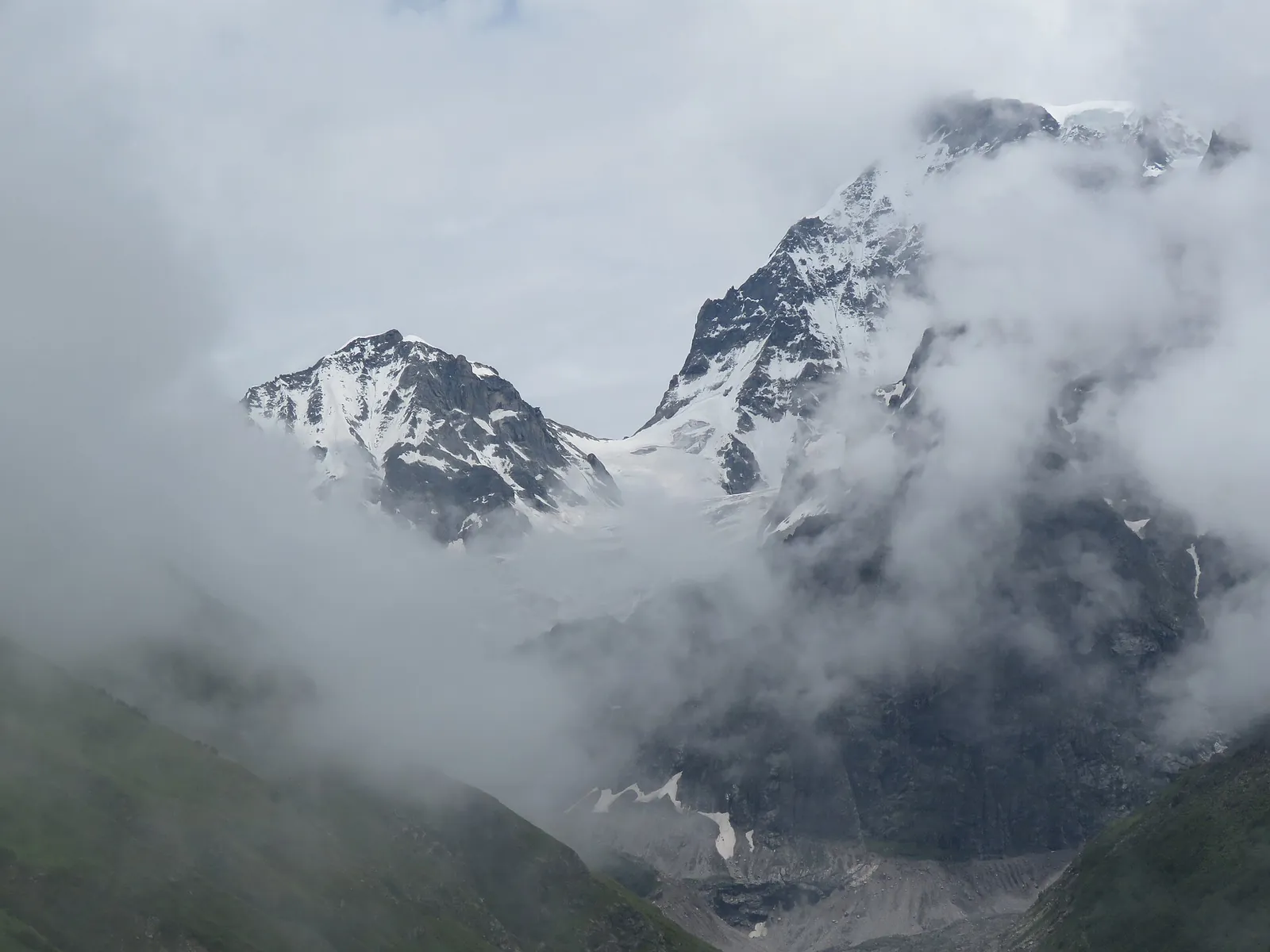
The Valley of Flowers is a high trek, but not an extreme one. You start at about 1,800 m at Govindghat, sleep at about 3,050 m in Ghangaria, and walk into meadows at roughly 3,200 to 3,600 m. The optional climb to Hemkund Sahib goes higher, to somewhere between 4,150 and 4,630 m depending on whose figure you trust. That is high enough for altitude sickness to be a real risk, mostly on the Hemkund day. This guide gives the altitude of every stop in metres and feet, explains why published heights disagree, and sets out what mountain-medicine guidance says about acclimatising on this route.
Last checked 18 October 2026
Altitude of every stop on the trek
The first column below is the figure you will see most often in guides and on signboards. The second comes from satellite elevation data (the Copernicus digital elevation model) sampled along the mapped trail for our interactive map, which is accurate to a few tens of metres. Where the two differ, neither is necessarily wrong: guides round heavily and copy each other, and a village spreads over a hillside.
| Place | Usually quoted | Satellite data | In feet (approx.) |
|---|---|---|---|
| Rishikesh, start of the road | About 340 m | 364 m | 1,200 ft |
| Joshimath | About 1,875 m | 1,878 m | 6,150 ft |
| Govindghat, the road head | 1,828 m | 1,804 m | 6,000 ft |
| Pulna, end of the jeep road | Rarely quoted | About 2,130 m | 7,000 ft |
| Bhyundar village | Rarely quoted | 2,566 m | 8,400 ft |
| Ghangaria, the base village | 3,049 m | 3,100 m | 10,000 ft |
| Park entry check-post | Rarely quoted | 3,190 m | 10,500 ft |
| Valley meadows on the visitor trail | 3,352 to 3,658 m | About 3,200 to 3,550 m | 10,500 to 12,000 ft |
| Hemkund Sahib | 4,329 m to 4,632 m | About 4,160 to 4,200 m | 13,700 to 15,200 ft |
The national park itself rises far higher than the trail. The 2005 IUCN evaluation for its World Heritage listing gives an altitude range of 3,200 m to 6,708 m, and says 73% of the park is permanent snow and ice. The meadows visitors walk through are its lowest, gentlest part.
Why Hemkund Sahib's height is quoted four different ways
4,632 m, 4,572 m, 4,329 m or about 4,190 m?
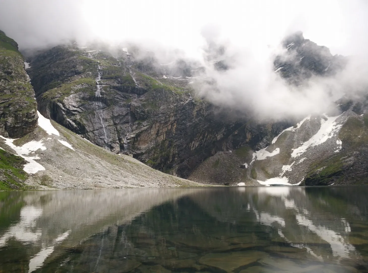
Hemkund Sahib is where published altitudes vary most. Uttarakhand's official Tourist Care registration portal gives 4,632 m (15,197 ft). Wikipedia's article on the gurdwara gives 4,572 m (15,000 ft), citing the Survey of India. A 2013 medical study and many trek operators use 4,330 m (14,200 ft). Two independent satellite elevation datasets we checked, Copernicus at 90 m resolution and SRTM at 30 m, both put the lake at roughly 4,160 to 4,200 m. We use the satellite figure on our map. Whichever number you believe, the practical point is the same: Hemkund is about 1,100 m above Ghangaria, reached in under 6 km, and that climb is what causes altitude trouble.
How much oxygen you get at each height
The air at altitude is still about 21% oxygen, but it is thinner, so each breath carries less. The US Centers for Disease Control and Prevention (CDC) gives a useful benchmark: at about 3,050 m, roughly the height of Ghangaria, the oxygen you breathe in is only 69% of that at sea level. The table uses the standard atmosphere to estimate the same figure for the other stops.
| Place | Altitude | Oxygen per breath compared with sea level |
|---|---|---|
| Govindghat | About 1,800 m | About 80% |
| Ghangaria | About 3,050 m | About 69% |
| Valley meadows | About 3,550 m | About 65% |
| Hemkund Sahib | About 4,160 to 4,330 m | About 58 to 60% |
Estimates from the international standard atmosphere. Real air pressure varies a little with weather and season. In the 2013 study, pilgrims measured at Hemkund had an average blood oxygen saturation of 82%, against the 95% or more that is normal at sea level.
Is altitude sickness a risk on this trek?
Yes, mainly on the Hemkund day. The CDC says travellers are at risk of acute mountain sickness (AMS) when they sleep at about 2,450 m or higher, and Ghangaria is some 600 m above that. The usual itinerary sleeps at Govindghat or Joshimath, at about 1,800 to 1,900 m, and then at Ghangaria, a gain of about 1,200 m in one day. The Hemkund climb then adds another 1,100 m before you come back down to sleep.
The only study we found from this route is small but telling. In 2013, researchers surveyed 25 adult pilgrims at Hemkund Sahib using the standard Lake Louise score. Seven of them, 28%, had AMS: 20% mild and 8% severe. On average they had drunk only 0.9 litres of water on the four to five hour climb, a fifth had drunk nothing at all, and only one person had taken preventive medicine. The sample was small and mostly young, so read 28% as a warning rather than a precise rate.
The valley day is gentler on the body, because you climb only about 450 m above Ghangaria and the path is mostly a steady walk. Symptoms on the first night in Ghangaria do happen, though. One trekker on Reddit wrote that their wife had headaches and nausea there, and was later diagnosed with altitude sickness at Hemkund.
What trekkers say
“We were there in June. Many people were vomiting and experienced headaches.”
“She was having trouble breathing. Doctor at Hemkund Sahib identified her as having Altitude Sickness.”
Symptoms to know
Acute mountain sickness (AMS)
A headache plus at least one of: loss of appetite, nausea or vomiting, dizziness, or unusual tiredness. The CDC compares it to a hangover. It usually starts 2 to 12 hours after reaching a new height and settles in 1 to 3 days if you do not go higher.
High-altitude cerebral oedema (HACE)
Confusion, drowsiness, or walking unsteadily as if drunk. This is an emergency: go down at once, with someone who can help you.
High-altitude pulmonary oedema (HAPE)
Breathlessness out of proportion to the effort, especially at rest, with a cough, chest congestion and a sharp drop in what you can do. Also an emergency: go down at once.
This page is general information, not medical advice. If you have heart or lung disease, are pregnant, or have had altitude illness before, talk to a doctor before the trip.
How to acclimatise on this route
Mountain-medicine guidance is built around where you sleep. The CDC advises against going from low altitude to a sleeping altitude above 2,750 m in a single day, and above 3,000 m it recommends gaining no more than 500 m of sleeping altitude a night. The standard itinerary pushes the first rule, because Ghangaria is about 1,200 m above Govindghat. Most people cope well, which is why these habits matter more than any gadget.
What trekkers say
“You may be able to prevent this occurring by spending extra day at Ghangaria, acclimatize, then ascend.”
“Valley of Flowers is pretty beginner friendly, just pace yourself and don't rush Hemkund Sahib, that climb can feel tough.”
- Visit the valley on your first full day in Ghangaria, and Hemkund Sahib the day after. The valley takes you about 450 m above Ghangaria and Hemkund about 1,100 m, and you sleep back in Ghangaria both nights. Climbers call this climb high, sleep low.
- Never go from Govindghat to Hemkund Sahib in one day. The 2013 study notes that some pilgrims do, gaining about 2,500 m, which is far beyond any acclimatisation guidance.
- If you wake in Ghangaria with a headache, spend an extra day there before attempting Hemkund.
- Walk up to Ghangaria if you can. The helicopter takes you to the same height in minutes, which gives your body less time to adjust, not more.
- Drink regularly. Carry at least a litre for the Hemkund climb, and refill on the way down.
- Go slowly, especially on Hemkund. Keep to a pace at which you can still talk.
- Skip alcohol for the first two days at altitude.
If symptoms start
What trekkers say
“Disregard pseudo science about sniffing Kapur (camphor) and 1-2minutes of canned air.”
- Stop going higher. The CDC is clear that you should not go up to sleep at a higher altitude while you have any symptoms, however mild.
- Rest, drink water and take a simple painkiller for the headache.
- If symptoms get worse despite rest, go down. A descent of 300 m or more usually helps. On Hemkund that means turning back towards Ghangaria; from Ghangaria, it means walking down towards Bhyundar and Pulna.
- For confusion, unsteady walking or breathlessness at rest, descend immediately with help and get medical attention. Trekkers report a doctor at Hemkund Sahib during the pilgrimage season.
Sniffing camphor (kapur) is often suggested on the trail. We found no medical guidance that supports it. Rest without going higher, and descent if things get worse, are what the guidance recommends.
What about Diamox?
Acetazolamide, sold in India as Diamox, is the standard medicine for preventing altitude sickness. The CDC's usual preventive dose is 125 mg twice a day, starting the day before you go up. It is a prescription medicine with side effects, commonly tingling in the fingers and more frequent urination, and it does not suit everyone.
Whether you need it depends mostly on you. In the CDC's risk table, a history of moderate or severe altitude sickness moves you into a higher-risk group, and so does a fast ascent without rest days. Ask a doctor before the trip rather than buying it at a chemist on the way. In the 2013 study, only one of the 25 pilgrims had taken it.
Fitness, age and who should check with a doctor
Fitness makes the climbs less exhausting, but it does not protect you from altitude sickness. The CDC notes that training and fitness do not change the risk. What fitness does give you is the ability to walk at a steady, unhurried pace and still enjoy the day.
What trekkers say
“On uphill climb, Walk in Zigzag manner, taking uphill diagonal walk 45 degree to the left and then diagonal uphill to the right.”
- See a doctor first if you have heart or lung disease, uncontrolled high blood pressure, are pregnant, or have had altitude illness before.
- Children and older people make this trip every season, often riding a mule for part of the way. A mule or porter saves legs, not lungs: watch them for symptoms exactly as you would on foot.
Temperature changes with height too
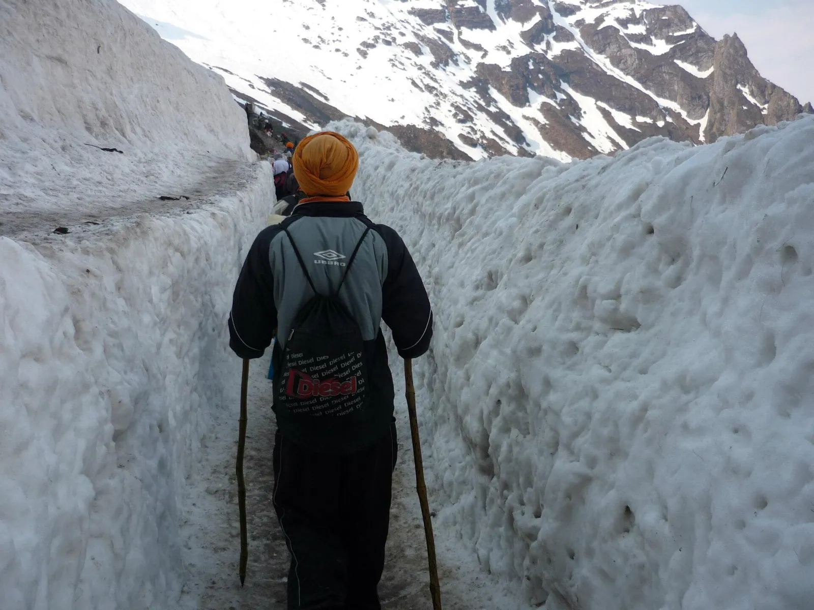
Altitude also explains the weather. Govindghat at 1,800 m is warm and humid in the monsoon, while Hemkund at over 4,000 m can see fresh snow in late May and June. Indiahikes trek leaders report day temperatures of about 10 to 18 °C on the trail from July to September, falling to about 3 to 5 °C at night. As a rough rule, air cools by about 6.5 °C for every 1,000 m you climb, so expect Hemkund to be several degrees colder than Ghangaria.
What trekkers say
“It snowed a bit during the day and was lightly raining.”
Frequently asked questions
What is the altitude of the Valley of Flowers?
The meadows on the visitor trail lie at roughly 3,200 to 3,600 m (10,500 to 11,800 ft). Wikipedia gives 3,352 to 3,658 m for the valley floor, and the national park as a whole rises to 6,708 m on its peaks.
How high is Ghangaria?
About 3,050 m (10,000 ft). Everyone visiting the valley or Hemkund Sahib sleeps here.
What is the altitude of Hemkund Sahib?
Published figures run from 4,329 m to 4,632 m. Satellite elevation data puts the lake at about 4,160 to 4,200 m. It is about 1,100 m above Ghangaria.
Can you get altitude sickness on the Valley of Flowers trek?
Yes, especially on the first night in Ghangaria and on the climb to Hemkund Sahib. A 2013 survey at Hemkund found 28% of the pilgrims it checked had acute mountain sickness.
Do I need Diamox?
Not automatically. It is a prescription medicine with side effects. Ask a doctor, especially if you have had altitude sickness before.
Is Hemkund Sahib harder than the Valley of Flowers?
Yes. It climbs about 1,100 m from Ghangaria in under 6 km, against about 450 m for the valley, and reaches the height where altitude sickness becomes more common.
Does a mule or the helicopter avoid altitude sickness?
No. They save effort, not oxygen. You still sleep at about 3,050 m, and the helicopter gets you there faster, with less time to adjust.
What is the Valley of Flowers height in feet?
About 10,500 to 12,000 ft for the meadows most visitors see, about 10,000 ft at Ghangaria, and roughly 13,700 to 15,200 ft at Hemkund Sahib, depending on the source.
Sources and how we wrote this
ValleyOfFlowers.in is an independent guide. This article is a research summary, not a first-hand trip report. We compared official and press sources, trek operators' pages and public Reddit threads, and where they disagree we say so. Prices and rules change each season, so confirm with the Uttarakhand Forest Department or the operator before you pay.
- CDC Yellow Book: High-altitude travel and altitude illness
- Sahota and Panwar (2013): A pilot study on the prevalence of acute mountain sickness at Hemkund Sahib, Indian Journal of Occupational and Environmental Medicine
- IUCN (2005): World Heritage evaluation of the Valley of Flowers National Park
- Uttarakhand Tourist Care: Hemkund Sahib
- Wikipedia: Gurdwara Hemkund Sahib
- Wikipedia: Valley of Flowers National Park
- Indiahikes: Best time to visit Valley of Flowers (temperatures)
- Open-Meteo elevation API (Copernicus DEM), used for the satellite altitudes
- OpenStreetMap: trail geometry
- Reddit threads linked above (r/india_tourism, r/SoloTravel_India)
Photo credits (3)
Photos are used under the open licences shown. Each credit links to its source.
- Glaciers at the head of the valley, breaking through cloud: Vinayaraj · CC BY-SA 4.0 · source
- Hemkund lake under cloud and snow: Abhilash.Kunnel · CC BY-SA 4.0 · source
- Pilgrims walking through a corridor cut in the Hemkund glacier: Panesar00888 · CC BY-SA 3.0 · source